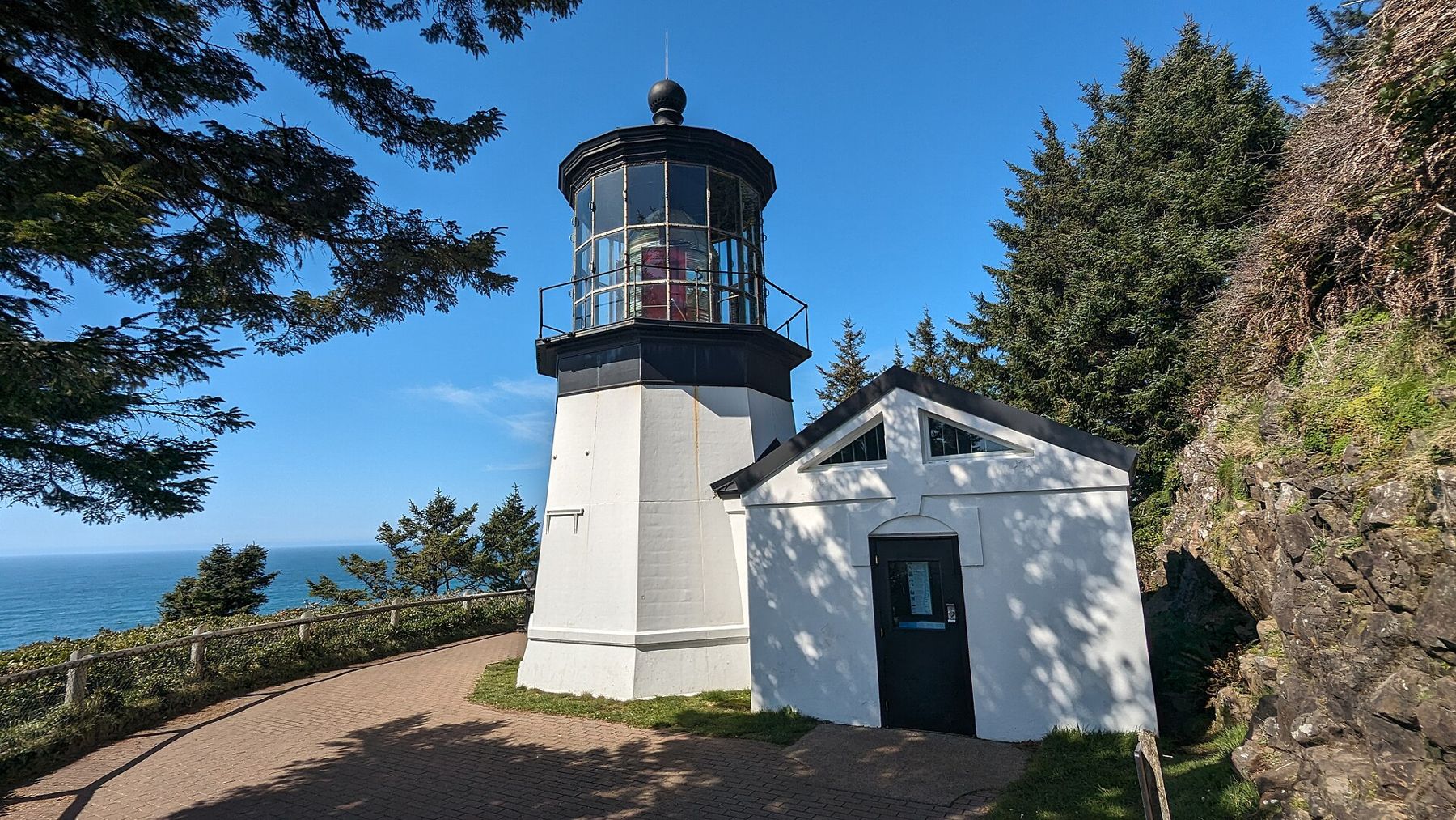
 Photo: Davidkasdan, CC BY 4.0
- Best months
- April to October
- Getting there
- Highway 101 to Tillamook, then west
- Bring
- Trail shoes, binoculars, a rain shell and a picnic
South of Tillamook, Highway 101 heads inland through dairy country, leaving the shore behind. The coast itself is reached by a quieter road that wanders west and south through small towns and past three great headlands: Cape Meares, Cape Lookout and Cape Kiwanda. The Three Capes route is slower than the highway, with curves, hills and frequent stops, and that is the point. Give it a full day.
Cape Meares
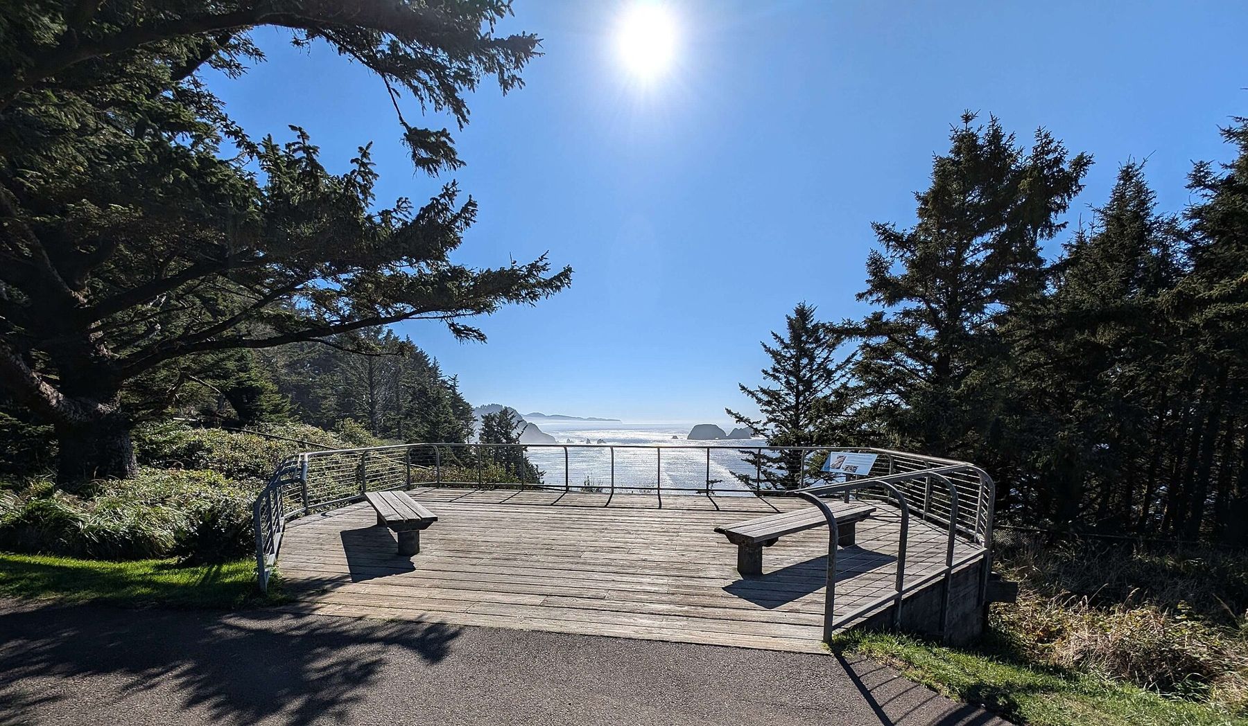
The northernmost of the three, Cape Meares, rises above the mouth of Tillamook Bay. A state scenic viewpoint on the headland has short paths through the forest to a lighthouse and to viewpoints over the sea and the offshore rocks.
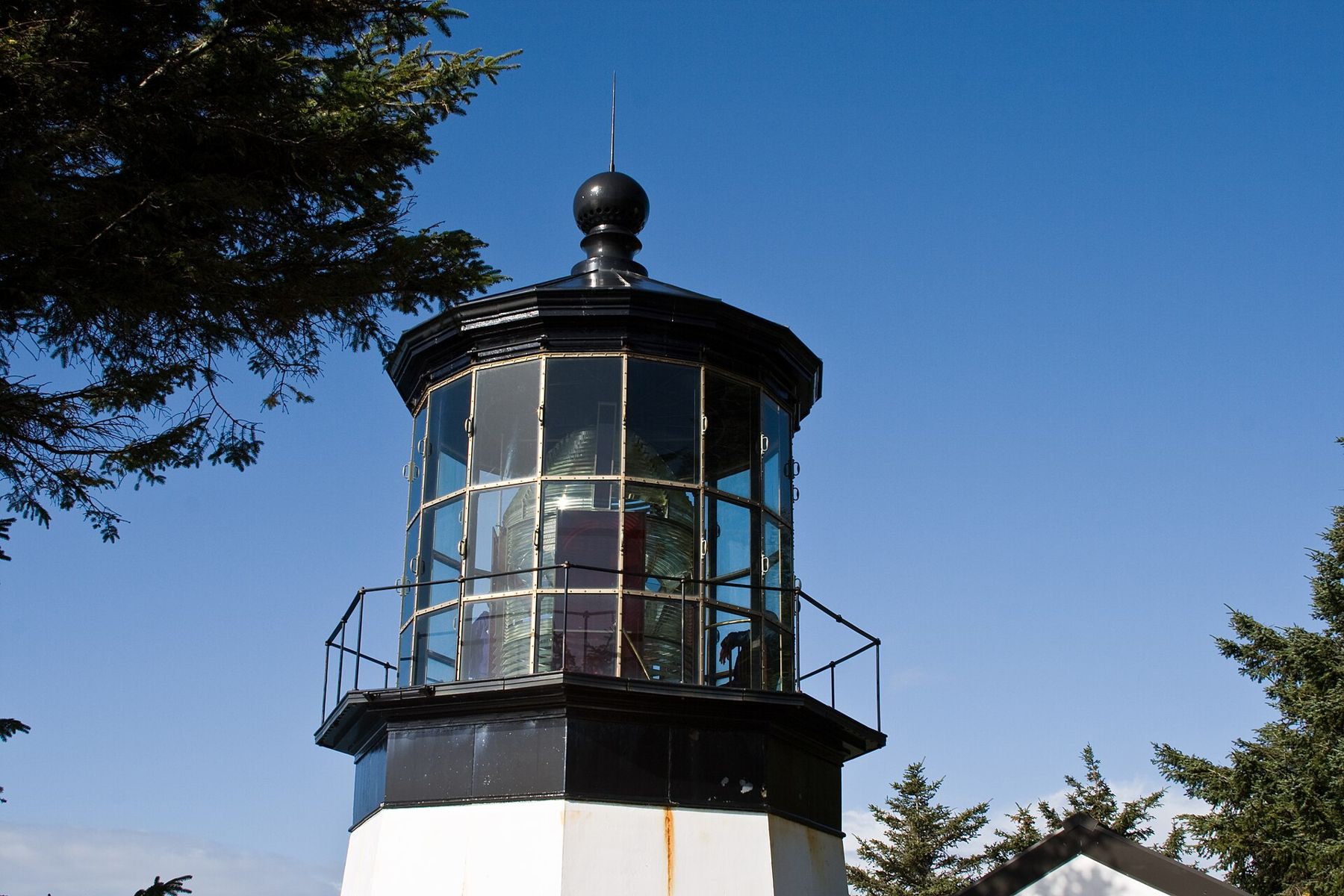
The Cape Meares lighthouse, first lit in 1890, is famous for being short: its tower is only a few dozen feet tall, because it stands on a cliff high above the water and so needed no great height to be seen. Its original lens, made in France, sits in the lantern room. The lighthouse is open to visitors at certain times in the warmer months; the grounds are open more widely.
Nearby, a short trail leads to the Octopus Tree, a huge Sitka spruce whose trunk divides near the ground into several thick limbs that curve outward and upward like the arms of a candelabra, or an octopus. How it took that shape is uncertain; one idea is that Native people shaped it long ago for ceremonial use, another that wind and storms did the work. Either way, it is a remarkable tree, centuries old.
The rocks offshore and the cliffs of the cape are part of a wildlife refuge, and they are among the important seabird nesting colonies on the coast. In spring and summer, look for common murres crowding onto the rocks, and with luck a peregrine falcon hunting along the cliffs.
Oceanside and Netarts Bay
South of Cape Meares, the route drops to the small village of Oceanside, with a beach backed by steep slopes and a famous group of offshore rocks known as the Three Arch Rocks, one of the first wildlife refuges established in the western United States, in 1907. A tunnel through the headland at the north end of the beach leads to a hidden cove at low tide; check the tide carefully before going through, because you can be trapped on the far side by the rising water.
Beyond Oceanside, the road skirts Netarts Bay, a shallow, sheltered bay behind a long sand spit. It is a quiet place for crabbing and clamming, done under state rules and licences, and for watching birds: herons, egrets, ducks, geese and shorebirds feed on the mudflats at low tide.
Parts of the loop road have been damaged by landslides over the years, and some sections have been closed or rerouted for long periods. Check the current state of the route before setting out, and follow the posted detours.
Cape Lookout
Cape Lookout is the most dramatic of the three: a long, narrow finger of basalt cliffs that juts nearly two miles straight out to sea. From a trailhead on the highway, a path runs along the spine of the cape through dense forest of spruce and hemlock, with occasional openings that look down hundreds of feet onto the waves. The trail is a few miles each way, with ups and downs, roots and mud in wet weather.
At the tip, the forest ends and the view opens across the ocean on three sides. It is one of the best places on the coast to watch for gray whales, especially during the winter and spring migrations, when thousands pass along the coast, and in summer, when some feed close to shore. Bring binoculars and patience.
Below the cape on the north side, Cape Lookout State Park has a large campground, a long beach and a sand spit separating the sea from Netarts Bay.
At the tip, the forest ends and the view opens across the ocean on three sides.
Sand Lake and the dunes
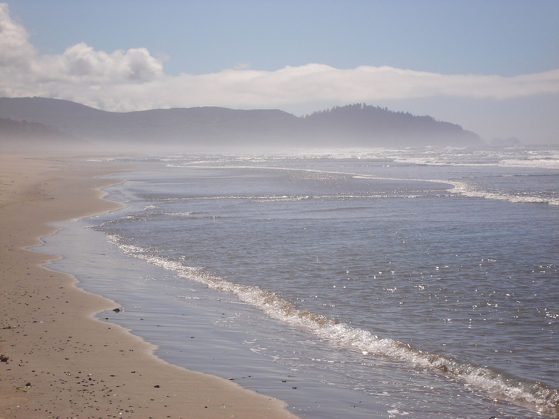
South of Cape Lookout, the land flattens around Sand Lake, an estuary surrounded by dunes. Part of the dune area is open to off-road vehicles, and on summer weekends their engines are a constant background; other parts of the estuary are quiet and good for birds. The contrast between the noise of the dunes and the calm of the estuary is part of the Oregon coast's character: almost every use has its place somewhere.
Cape Kiwanda
The loop ends at Cape Kiwanda, at the small town of Pacific City, a headland of golden sandstone with a towering dune piled against it and another Haystack Rock standing offshore. It is very different from the dark basalt of the other two capes and deserves its own visit; see Cape Kiwanda's dune and the rock offshore.
Tillamook and the dairy country
The loop begins and ends in country shaped by cows. The flat, green valleys around Tillamook Bay are dairy land, watered by heavy rain and drained by five rivers that flow into the bay. Dairy farming took hold here in the nineteenth century, when the lack of roads made it easier to ship cheese and butter by sea than to send fresh milk anywhere, and the area is still known for its cheese. Farms line the roads, and in early mornings mist often lies over the fields.
Inland, the Tillamook State Forest covers the hills that were burned by a series of huge fires in the 1930s and 1940s, known together as the Tillamook Burn, and then replanted by hand by thousands of volunteers, including schoolchildren. A forest centre on the highway east of Tillamook tells that story and is worth a stop if you approach from Portland.
Whales off the capes
Gray whales pass the Oregon coast twice a year on one of the longest migrations of any mammal, heading south to the lagoons of Baja California in winter and north to Arctic feeding grounds in spring. The peak southbound passage usually falls around late December and early January, and the northbound passage around late March, with mothers and calves following later in spring. Some whales stay along the Oregon coast all summer, feeding close to shore. On calm days, look for the spout, a puff of mist that hangs in the air for a moment, then the slow roll of a long grey back.
A day on the Three Capes
Start in Tillamook in the morning, drive west to Cape Meares for the lighthouse and the tree, continue south past Oceanside and Netarts, hike Cape Lookout in the middle of the day, and end at Cape Kiwanda for the evening light. Fill up on fuel and supplies in Tillamook, because services along the loop are limited. Rain is common outside summer, and fog often hangs over the capes on summer mornings before burning off. After Kiwanda, Highway 101 continues south toward Lincoln City and Depoe Bay's tiny harbour.


 Photo: John Fowler from Placitas, NM, USA, CC BY 2.0