 Photo: Fcb981, CC BY-SA 3.0
- Best months
- May to October
- Getting there
- Highway 101 south of Cannon Beach
- Bring
- Hiking shoes, rain shell, water and a snack
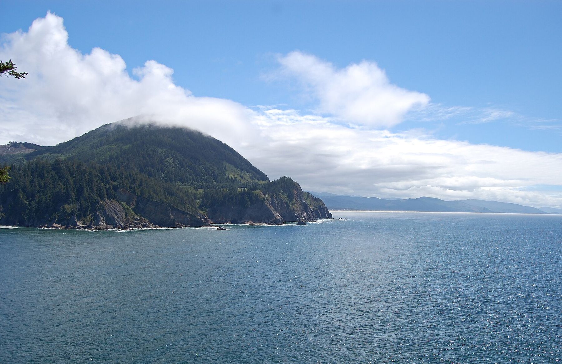
South of Cannon Beach, Highway 101 leaves the flat shore and climbs onto the flank of a mountain that drops almost straight into the sea. For a few miles the road clings to the slope, with the forest above and the Pacific far below. This is Oswald West State Park, one of the most beautiful stretches of the northern Oregon coast, with a cove reached on foot through old-growth forest, a cape trail above the surf and the steep summit of Neahkahnie Mountain.
A governor and a public beach
The park is named after Oswald West, governor of Oregon in the early twentieth century, who in 1913 persuaded the legislature to declare the state's wet sand beaches a public highway. That law, and the later Beach Bill of 1967, are the reason almost all of Oregon's shore is open to the public today. It is fitting that one of the loveliest coves on the coast should carry his name.
The walk to Short Sand Beach
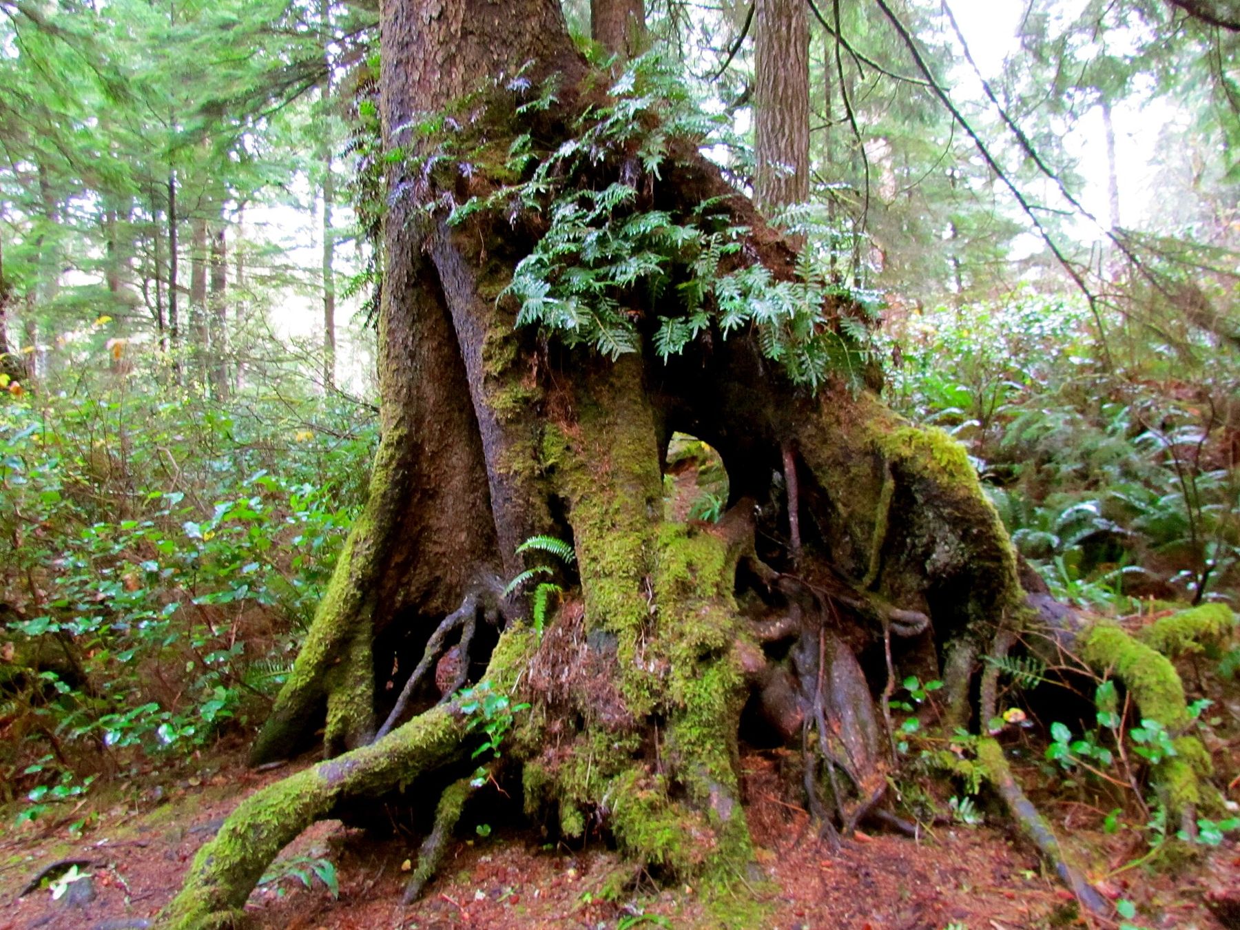
Short Sand Beach, often called Shorty's, lies at the head of a small, sheltered cove, and the only way to reach it is on foot. From parking areas beside the highway, a trail of under half a mile follows a creek down through a forest of huge Sitka spruce and western red cedar, with ferns and moss on every surface. The walk is easy, mostly downhill on the way in, with a short climb on the way back.
The cove opens suddenly at the end of the trail: a curve of sand between forested headlands, with a creek running across the beach and waves rolling in from the open sea. It is a well-known surfing spot, and on good days you will see surfers in wetsuits waiting for sets. On calm days it is simply one of the most peaceful places on the coast.
Tide pools form at the rocky ends of the beach at low water. The cove can feel sheltered, but waves surge into it with force, and rip currents form near the creek and the rocks. Swim only if you know what you are doing, and keep children close to the water's edge.
Cape Falcon
From the Short Sand trail, a branch of the Oregon Coast Trail climbs north through the forest to Cape Falcon, a headland of grassy slopes and salal above sheer cliffs. The walk is a few miles round trip, with some muddy sections and roots. At the end, a narrow path leads out onto the cape for views north toward Cannon Beach and south over the cove. Stay well back from the edges, which are steep and undercut. In spring, the slopes of the cape are bright with wildflowers, and the views on a clear evening are some of the finest on this part of the coast.
The waters off Cape Falcon are a marine reserve, one of several on the Oregon coast where fishing and the taking of marine life are restricted to protect the ecosystem and to let scientists study it. Seabirds, seals and passing whales are common.
Neahkahnie Mountain
South of the cove, Neahkahnie Mountain rises steeply to a summit of about 1,600 feet, one of the highest points directly on the Oregon coast. Trails climb to the top from the south side, through forest and open meadows, with a series of switchbacks. The climb is short in distance but steep, and the reward is a huge view: south over the town of Manzanita, Nehalem Bay and the long curve of beach, and on clear days far up and down the coast.
The mountain is the subject of an old local legend of buried treasure, said to have come ashore from a wrecked ship long ago, and of blocks of beeswax that washed up on nearby beaches for many years. The beeswax is real; it is thought to have come from a Spanish galleon wrecked on the coast in the late seventeenth century. The treasure, so far, has stayed legend.
Manzanita and Nehalem Bay below
From the mountain's summit, the view south falls onto the small town of Manzanita and the long, straight beach that runs from the foot of the mountain to the mouth of Nehalem Bay. A state park on the sand spit between the bay and the ocean has trails, a long beach and good birdwatching on the bay side, where seals often haul out on the sandbars. It is a calm counterpoint to the steep forest of Oswald West, and an easy place to walk off the climb on flat sand.
The highway on the cliff
The stretch of Highway 101 across the mountain's face is one of the most dramatic on the coast, with turnouts that look straight down onto the surf hundreds of feet below. The road was cut into the slope in the 1930s, and before that the only way along this part of the coast was a narrow trail or the beach at low tide. Pull fully off the road at turnouts, watch for cyclists and do not stop in the traffic lane.
Oswald West State Park through the year
Summer and early autumn bring the driest trails and the clearest views from the summit. Winter is wet and windy, but the forest is at its greenest and the surf at its most impressive. Parking at the trailheads fills on summer weekends, so arrive early. From here, it is a short drive north to Haystack Rock at Cannon Beach, or south past Nehalem Bay and Tillamook to the Three Capes loop.
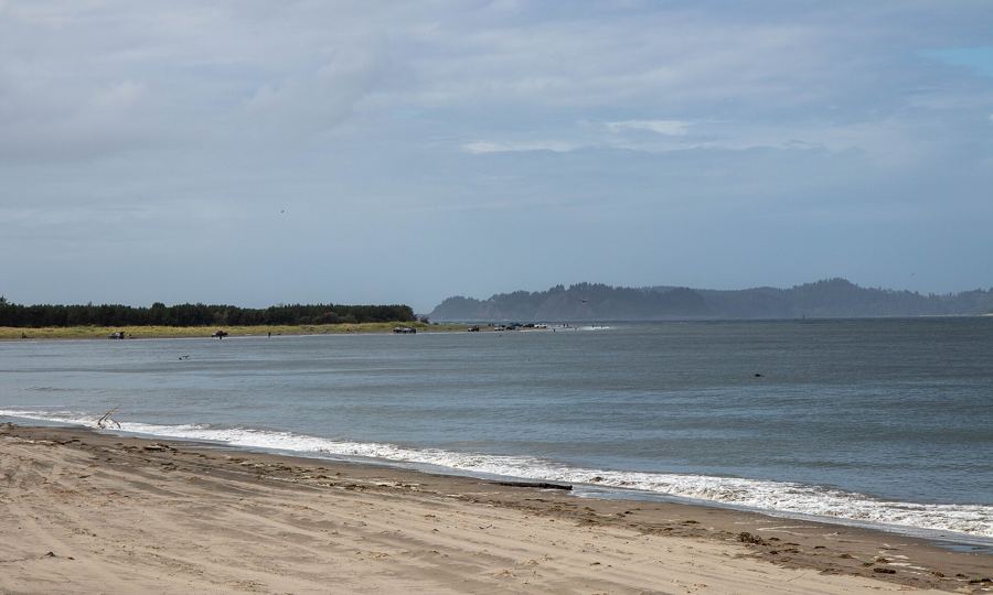 Photo: runarut, CC BY 2.0
 Photo: Davidkasdan, CC BY 4.0
 Photo: Z3lvs, CC0