 Photo: runarut, CC BY 2.0
- Best months
- May to October
- Getting there
- US 30 or Highway 101 into Astoria
- Bring
- Rain jacket, walking shoes and binoculars for ships
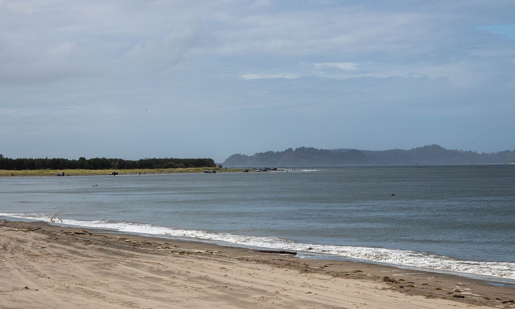
The Oregon coast begins, for these pages, at the mouth of the Columbia River, where one of the largest rivers in North America meets the Pacific in a wide estuary of shifting sandbars, strong currents and heavy seas. On its southern shore, the town of Astoria climbs steep, wooded hills above the water, its old houses looking out over the river, the long bridge to Washington and the cargo ships waiting to cross the bar.
Before heading south along the coast, it is worth a day here.
The oldest town in the Northwest
Astoria began in 1811 as a fur-trading post, founded on behalf of John Jacob Astor's trading company, and it is often described as the oldest American settlement west of the Rocky Mountains. It grew in the late nineteenth century as a busy port, with canneries packing salmon from the Columbia and a large population of immigrants from Scandinavia, Finland and China, among others. Many of the Victorian houses on its hills were built in those years.
The downtown, near the water, has older commercial buildings, and a riverwalk follows the shore past old cannery piers. On some stretches, a small vintage trolley has run along the waterfront in summer; check if it is operating.
The Astoria Column
On the highest hill above town stands the Astoria Column, a tower over a hundred feet tall, completed in the 1920s and decorated with a spiralling painted frieze that shows scenes from the region's history. A narrow spiral staircase of more than 160 steps leads to a viewing platform at the top. From there, the view takes in the Columbia's mouth, the bridge, the hills of Washington across the river, the coast to the south and, on clear days, the snow-capped volcanoes far inland. A parking fee may apply.
The river, the bar and the museum
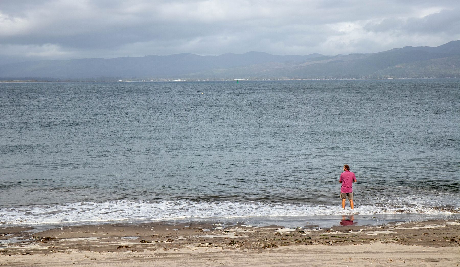
Where the Columbia meets the ocean, its current collides with incoming swells over a shallow bar, creating some of the most dangerous waters in the world for shipping. Many ships have been lost there, earning the area the name Graveyard of the Pacific. Specially trained bar pilots still guide every large ship across.
The Columbia River Maritime Museum on the Astoria waterfront tells the story of the river, the bar, the pilots, the Coast Guard and the ships that have sailed and sunk here, with boats, exhibits and a lightship moored outside. It is one of the best museums on the coast. Check opening hours before you go, and allow at least two hours.
The Astoria-Megler Bridge, about four miles long, crosses the river mouth to Washington. Completed in the 1960s, it is one of the longest continuous truss bridges in North America, and its high span near the Oregon shore lets ships pass beneath.
Fort Clatsop
A few miles southwest of Astoria, Fort Clatsop is where the Lewis and Clark expedition spent the wet winter of 1805 to 1806, after reaching the Pacific. A replica of their small log fort stands in the forest, and in summer, park staff in period clothing demonstrate skills of the time. The site is part of a national historical park that includes several places around the river mouth connected to the expedition.
The fort was named after the Clatsop people, whose villages lined this coast and who traded with the expedition through the winter. Their descendants are part of the Clatsop-Nehalem community today.
Fort Stevens and the Peter Iredale
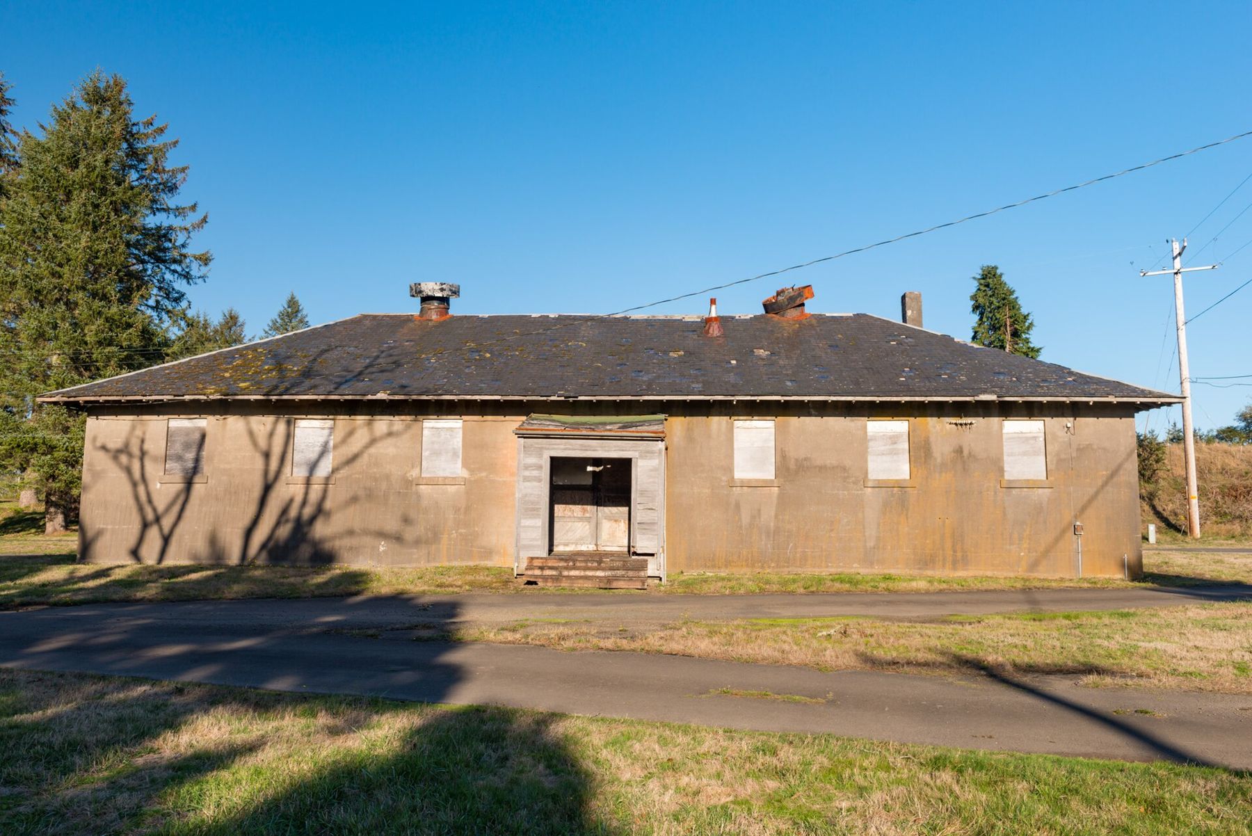
At the very tip of Oregon, at the mouth of the river, Fort Stevens State Park covers a large area of forest, lakes, beaches and old military batteries. The fort guarded the river mouth from the Civil War through the Second World War, and in 1942 it was shelled by a Japanese submarine, one of the few attacks on the mainland United States during the war. The concrete gun batteries can still be explored.
On the beach in the park lie the rusted remains of the Peter Iredale, a sailing ship that ran aground in 1906. Its bow and ribs still poke out of the sand, and at low tide you can walk right up to them. It is one of the most photographed sights on the coast, especially at sunset. The wreck has slowly broken up and sunk into the sand over the decades, and storms change how much of it shows from one winter to the next. Climbing on it is dangerous and discouraged; the metal is sharp, rusted and slippery.
Watching the ships
One of Astoria's simplest pleasures is watching the river traffic. Large cargo ships, tankers and log ships anchor in the river off the town, waiting for the tide, the weather or a berth upriver, and pilot boats come and go from the waterfront. Fishing boats, Coast Guard vessels and, in summer, small pleasure craft add to the parade. A good place to watch is the riverwalk near the maritime museum, or anywhere on the hills with a view down to the water. Sea lions often lounge on docks and buoys along the waterfront, barking loudly; they are wild animals and should be given space.
Astoria through the year
Summer and early autumn are the driest months, though fog and wind are common. Winter brings storms, rain and big seas over the bar, which can be impressive to watch from the jetty or the viewing areas in Fort Stevens. From Astoria, the coast road heads south toward Seaside, Ecola and Haystack Rock at Cannon Beach.
 Photo: Davidkasdan, CC BY 4.0
 Photo: Z3lvs, CC0